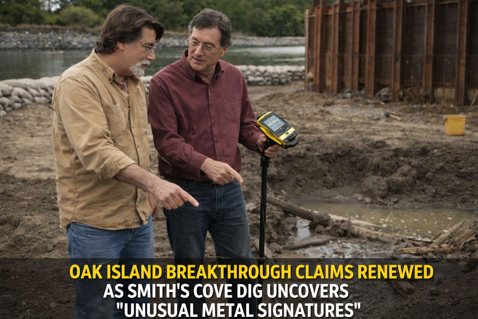
OAK ISLAND BREAKTHROUGH CLAIMS RENEWED AS SMITH’S COVE DIG UNCOVERS “UNUSUAL METAL SIGNATURES”
New subsurface readings, structural timber finds, and cast-iron artifacts deepen the mystery beneath Smith’s Cove as the Oak Island team pushes deeper into one of its most scrutinized excavation zones.
A new phase of excavation at Smith’s Cove has placed The Curse of Oak Island back at the center of international attention, following reports of unusual metal signatures detected beneath recently excavated areas. According to field observations and laboratory analysis, multiple anomalies are now being recorded across a tightly defined subsurface corridor, intensifying debate over whether the site contains natural mineralization or remnants of engineered construction systems .
The development comes as the team expands its excavation footprint around historically significant structures near the shoreline cofferdam zone, where previous searches have already uncovered wooden structures, metallic objects, and possible tunnel-related features. Researchers now believe these overlapping indicators may not be isolated events, but part of a larger subsurface pattern extending toward the Money Pit system.
EXPANDING EXCAVATION REVEALS STRUCTURAL COMPLEXITY
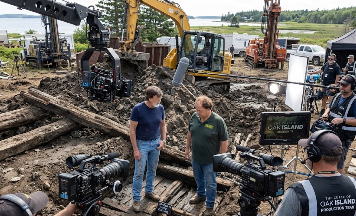
Recent digging operations in the Smith’s Cove area have uncovered additional timber layers and buried structural elements beneath crane pad locations, suggesting that parts of the site may have been intentionally modified in the past. Engineers working on-site have reported water movement through concealed channels, along with layered wood placements that appear consistent with reinforcement or containment structures.
These findings have reinforced earlier theories that the area may contain remnants of a flood control system or engineered tunnel network designed to direct seawater toward deeper excavation zones. While no definitive origin has been confirmed, the repeated presence of structural wood beneath fill layers has increased interest in the possibility of human-directed construction activity.
METAL DETECTION FINDS ADD NEW LAYER OF EVIDENCE
Alongside structural discoveries, metal detection teams have identified multiple nonferrous and ferrous targets embedded within compacted soil and rock formations. Among the recovered items are heavily corroded metal fragments, spikes, and a large iron object later identified in laboratory conditions as a cast-iron stove door.
The object, recovered at significant depth, features a starburst-style design that has drawn attention due to its similarity to motifs found on previously recovered artifacts elsewhere on the island. Laboratory analysis suggests the item likely dates between the mid-18th and mid-19th century, though researchers caution that its deposition context remains unclear.
The presence of such objects in a concentrated area has raised questions about whether the Smith’s Cove zone may have been used for repeated industrial or construction activity over an extended historical period.
ALIGNMENT OF ANOMALIES NEAR THE MONEY PIT SYSTEM
One of the most closely examined developments involves the spatial relationship between newly identified subsurface readings and earlier drilling results. Multiple boreholes in the region have recorded similar depth-based anomalies, including void-like signals and metal signatures clustered within a narrow vertical range.
Geologists working with the team have noted that such alignment is uncommon in naturally occurring formations, particularly when detected across multiple independent drilling points. This has led to increased speculation that the anomalies may be linked to a continuous underground structure or system extending across the Smith’s Cove–Money Pit corridor.
However, researchers emphasize that while the pattern is compelling, it remains unverified and requires further core sampling to determine its origin.
HISTORICAL INTERPRETATION AND CONTINUING ANALYSIS
The discovery of engineered-looking timber layers and metallic artifacts has revived ongoing discussions about the historical origins of Smith’s Cove. Some researchers suggest that the site may have undergone multiple phases of modification, potentially involving both early searcher activity and older construction efforts.
The presence of stone alignments, timber reinforcement, and water channel behavior continues to fuel debate over whether the area served as part of a deliberate flood system or was later altered by subsequent excavation attempts. At this stage, no consensus has been reached among experts.
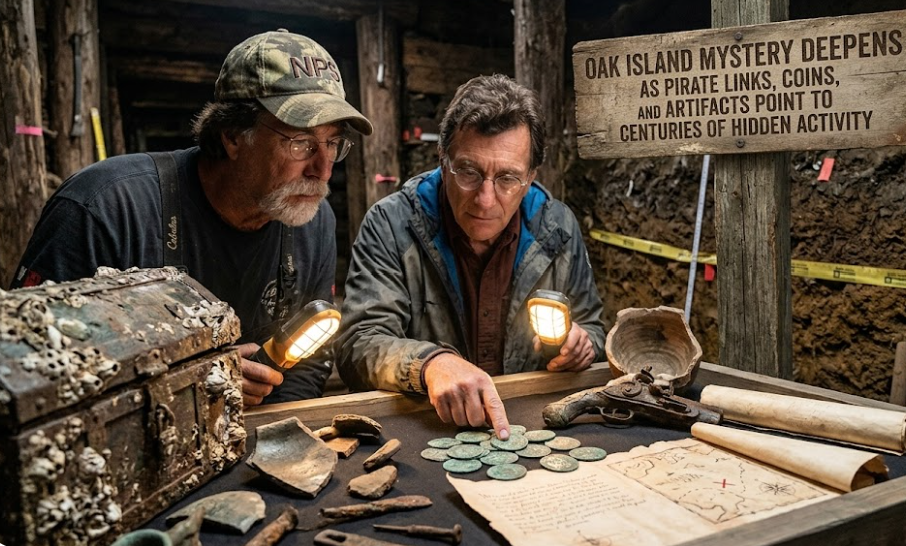
LABORATORY RESULTS CONFIRM TRACE METAL PRESENCE
In parallel with field operations, laboratory analysis has confirmed the presence of trace metals, including gold particles, in select recovered materials. While concentrations remain extremely low, their repeated detection across different sample types has drawn attention from the research team.
Scientists caution that trace gold alone does not confirm the presence of treasure or man-made deposits, but its consistent appearance across wood, water, and sediment samples is considered noteworthy. The findings are now being cross-referenced with geological baseline data from other parts of the island.
CONTINUING EXCAVATION STRATEGY AT SMITH’S COVE
With multiple data points converging, the team is now adjusting its excavation strategy to focus on areas where structural anomalies and metal signatures overlap. Additional probe drilling is planned to determine whether the detected voids are interconnected or represent isolated features.
Engineers have also indicated that further removal of overburden material near the cofferdam zone may expose deeper structural layers previously inaccessible due to water intrusion and sediment buildup.
A MYSTERY THAT IS BECOMING MORE DEFINED, NOT SIMPLER
Despite the absence of definitive proof of treasure or a singular engineered vault, the accumulation of findings at Smith’s Cove is reshaping how the site is interpreted. Instead of a single anomaly, researchers are now considering the possibility of a multi-layered subsurface system involving repeated construction, modification, and water control activity.
As summarized in the latest operational briefing, excavation efforts are no longer focused on isolated discoveries but on mapping a broader underground framework that may connect multiple historically significant zones across Oak Island .
For now, the investigation continues—driven by patterns that are growing harder to dismiss and a landscape that appears to be revealing its structure one layer at a time.